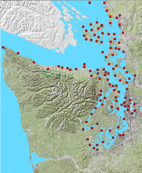
Click a dot in your area of interest. A close-up image will appear in a viewer window to the far right, with links below to download a full-sized, high-resolution, geo-referenced version of the sheet. Zoom and pan in the viewer window to inspect a low-resolution copy of the map.
U.S. Coast & Geodetic Survey T-sheets are available in NAD27 and NAD83/HARN datums, UTM Zone 10N, along with the original unreferenced images. Descriptive reports for the individual T-sheets are provided where digital copies were available. The Puget Sound Nearshore Project and the Washington DNR Aquatic Resources Division funded the preparation of this data.
|
|
| Our 12-year-old java zoom/pan scripts have stopped working in 2016. Please accept our weak substitutes. |
|
Download GIS-ready vector data (composite T-sheet geodatabase with metadata) for the Puget Sound region. |