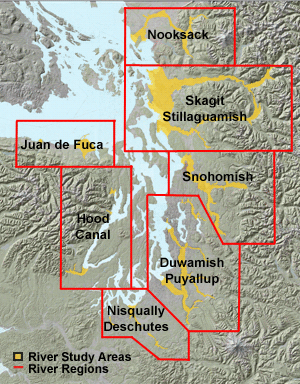
Download PLS maps and aerial photos
All data can be found graphically or by image name. Users having a slow internet connection are advised to turn off the graphics option in their web browser and use the drop-down menus to locate specific tiles.
Georeferenced 19th century Public Land Survey (PLS) plat maps are indexed using the township and range grid (e.g., T32N, R02E).
1930s-era orthorectified aerial photo tiles are indexed by USGS quarter-quad and photo year (e.g., "Brinnon NE 1939").
Go to: Downloadable georeferenced U.S. Coast & Geodetic Survey topographic sheets