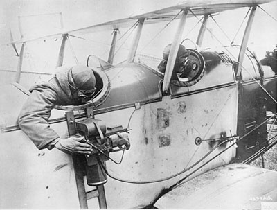
Early Aerial Photography in Puget Sound
The first aerial photographs were made of lowland river valleys and estuaries in the Puget Sound region between 1931 and 1940. They are generally in a 7" x 9" black-and-white format and at a scale of 1:12,000 or better. Images were orthorectified, mosaicked, and tiled to USGS topographic quarter-quads. Photographs now (or soon to be) available for download are:
|
Area |
Year |
Format |
Approx. |
Origin |
Source of photos |
|
Nooksack |
1938 |
BW 7"x 9" |
1: 12,000 |
Seattle District ACOE |
|
|
Skagit |
1937 |
BW 7"x 9" |
1: 12,000 |
Brubaker Aerial Survey Company |
Seattle District ACOE |
|
Stillaguamish |
1933 |
BW 7"x 9" |
1:10,000 |
Pacific Aerial Surveys |
Snohomish County Public Works |
|
Snohomish |
1938 |
BW 7"x 9" |
1:10,000 |
Snohomish County Public Works |
|
|
Snohomish |
1933 |
BW 7"x 9" |
1:10,000 |
Pacific Aerial Surveys |
Snohomish County Public Works |
|
Duwamish, Green, Black, White, Puyallup |
1940 |
BW 7"x 9" |
1:12,000 |
Seattle District ACOE |
|
|
Sammamish |
1936 |
BW 7"x 9" |
1:10,600 |
Pacific Aerial Surveys |
Seattle District ACOE |
|
Sammamish |
1938 |
BW 7"x 9" |
1:10,600 |
Army Air |
Seattle District ACOE |
|
Cedar, White |
1936 |
BW 7"x 9" |
1: 10,600 |
King County DNRP |
|
|
Nisqually |
1937 |
BW 7"x 9" |
1: 6,000 |
Seattle District ACOE |
|
|
Skokomish |
1938 |
BW 7"x 9" |
1: 12,000 |
Seattle District ACOE |
|
|
Hood Canal & Strait of Juan de Fuca |
1939 |
BW 9"x 9" |
1: 34,000 |
US Geological Survey |
USDA Forest Service (from National Archives) |